


Please use this identifier to cite or link to this item:
http://hdl.handle.net/2307/4021| Title: | Carta dei contorni di Tagiura e Zeila secondo Barker, Christopher, Burton, Sapeto | Authors: | Cora, Guido | Discipline: | Soggettario Centro Studi Somalo::GEOGRAFIA::Cartografia Xoghayaha Xarunta Cilmibaarista Soomaaliyeed::Juqraafi::khariiqad samayn Center for Somali Studies List of Subjects::Geography::cartography |
Keywords: | carta geografica confini itinerari Zeila Tagiura khariiddo xuduudo waado Saylac Tajura geographic map borders routes Zeila Tajura |
Issue Date: | 1876 | Type: | Image | Call Number: | Originale conservato presso il Centro studi Somali : http://host.uniroma3.it/centri/CentroStudiSomali/index.php | Description: | Immagine messa a disposizione dalla Società Geografica Italiana. Sawir ay soo diyaarisay Shirkadda Juqraafiyeed ee Taliyaaniga. Image provided by the Italian Geographical Society. Link: http://www.societageografica.it/opac/scheda1.php?id=23840&s=0 |
URI: | http://hdl.handle.net/2307/4021 | Language: | it |
| Appears in Collections: | Immagini - Sawirro - Images |
Files in This Item:
| File | Description | Size | Format | |
|---|---|---|---|---|
| Carta dei contorni di Tagiura e Zeila secondo Barker_ Christopher_ Burton_ Sapeto.jpg | 604.08 kB | JPEG | 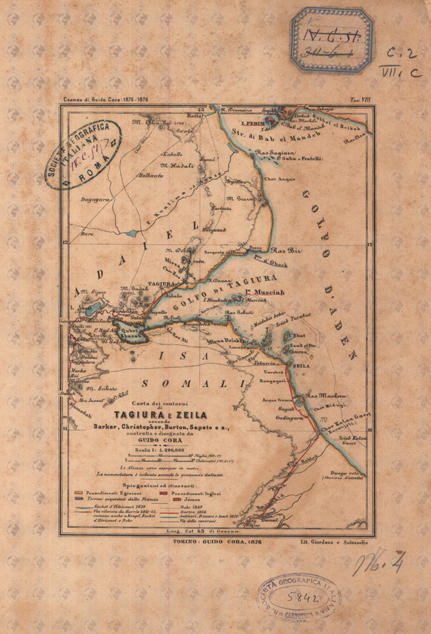 View/Open |
Page view(s)
933
Last Week
0
0
Last month
2
2
checked on Aug 1, 2026
Download(s)
143
checked on Aug 1, 2026

Google ScholarTM
Check
This item is licensed under a Creative Commons License
